


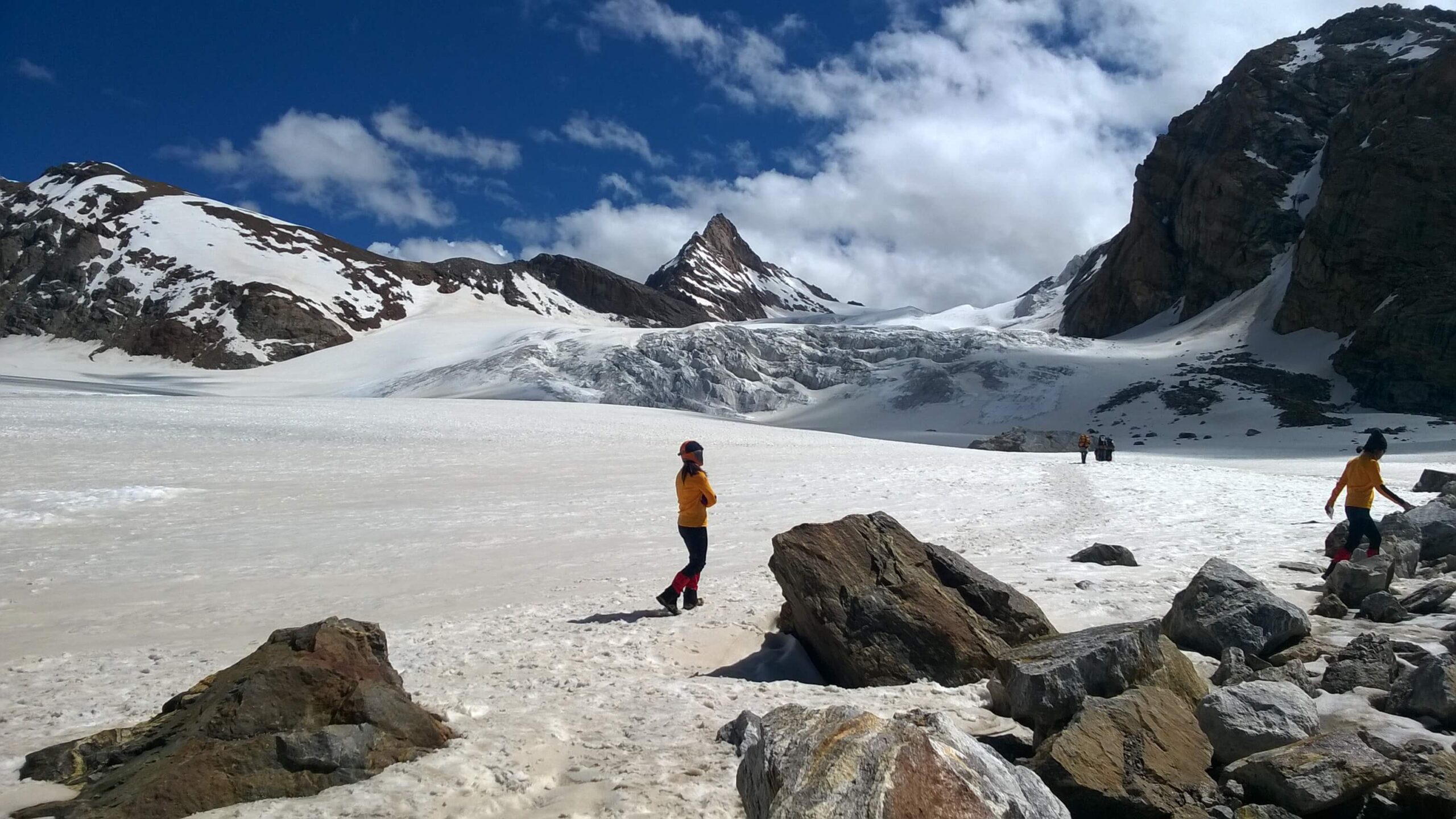
Kangla Pass, unlike Parang La or Shingo La, was never a conventional trade route due to its heavy glaciation and crevasse-riddled terrain, known only to a few shepherds and Zanskari traders but rarely crossed; it remained largely obscure through the 20th century, overshadowed by the more accessible Miyar–Udaipur corridor, until modern exploratory teams in the 1990s and 2000s began linking Miyar to Zanskar and brought it into limited mountaineering awareness. After 2010, Kangla slowly gained recognition among alpine trekkers, ski mountaineers, and Himalayan exploration circles, yet it has never become commercial because of its remoteness, lack of evacuation systems, and prolonged snow conditions. Today it stands as a “raw, original Himalayan traverse,” better described as a minimalist mountain expedition than a trek, preserving a rare pre-tourism silence and isolation in a rapidly changing Himalayan landscape.
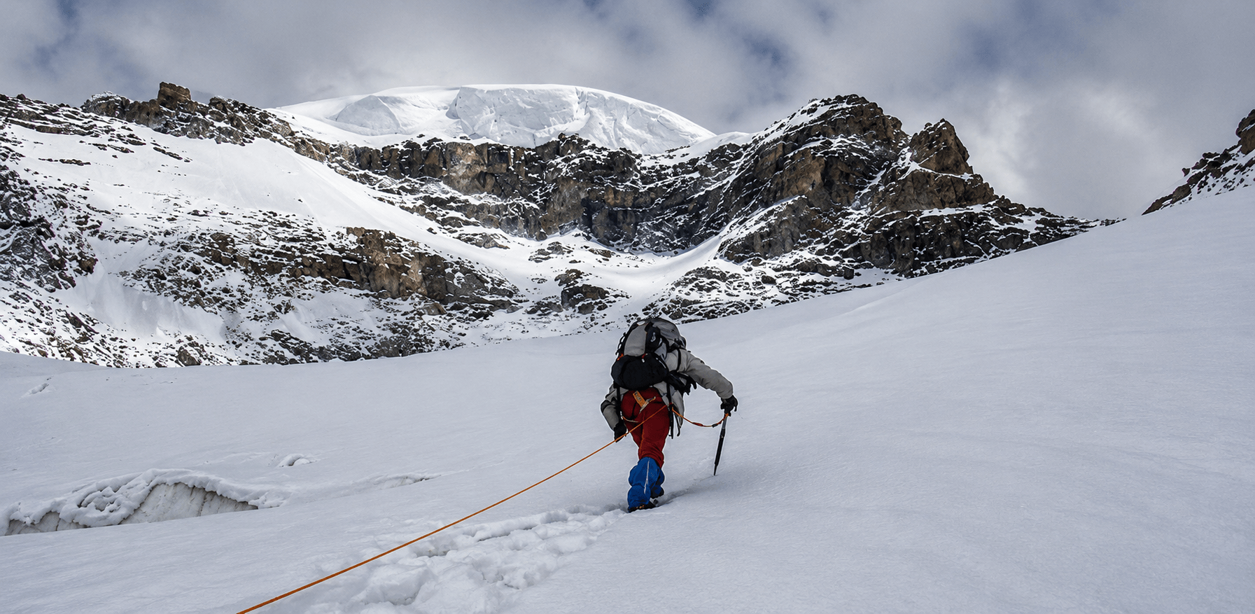
Kangla Pass is a technical glaciated traverse demanding high-altitude trekking and basic mountaineering skills, with glacier crossings, long moraine stretches, soft snowfields and ice sections, hidden crevasses requiring roped travel, gradual yet exposed slopes with unstable snow bridges, a narrow weather window from mid-July to early September, and significant risks including AMS, white-outs, crevasse hazards, and complete isolation without easy evacuation access. Kangla Glacier is the upper part of the Miyar Glacier system, which is about 27–28 km long, making this trekking program absolutely unique.
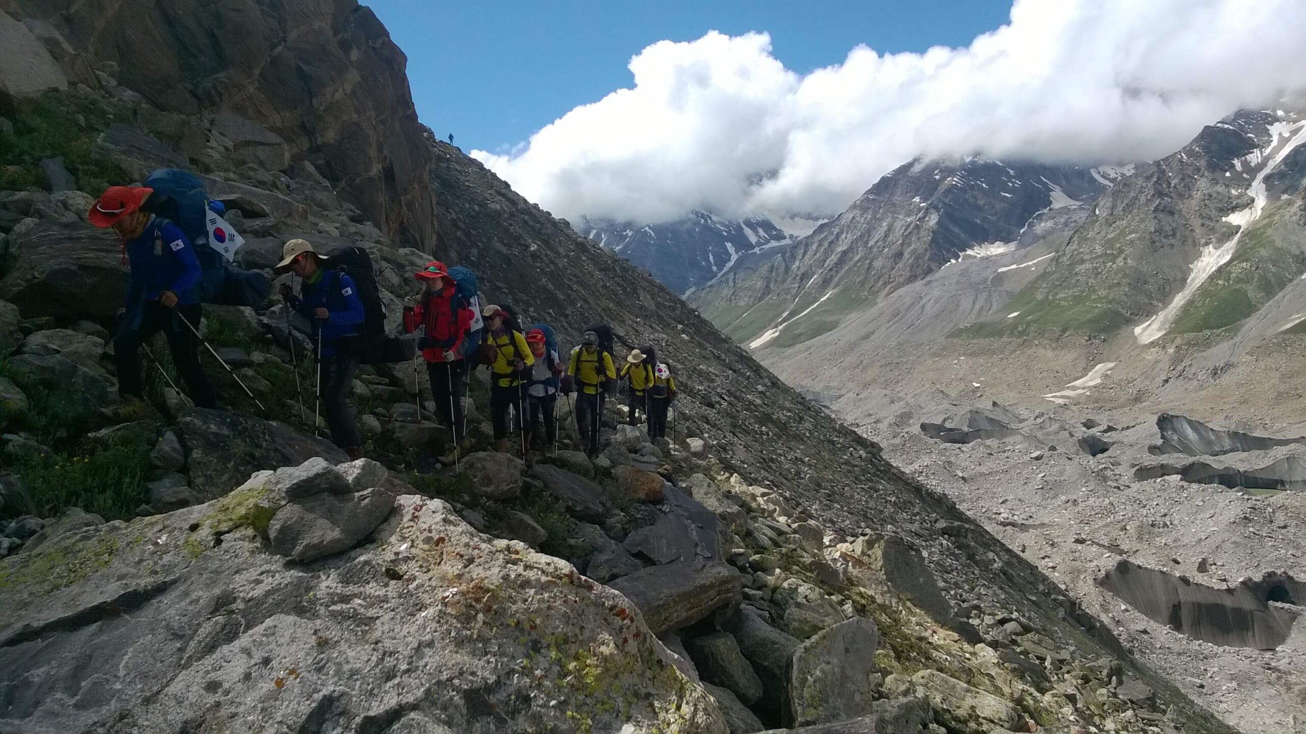
Adventure India started trekking expeditions on this route in 1999, and our remarkable expedition to recall on this route was a South Korean Expedition coordinated by Eurasia Trek.
At Adventure India, we curate high Himalayan trekking itineraries by combining deep terrain knowledge with thoughtful planning. Each route is studied for altitude, terrain, weather, and seasonal conditions, ensuring safe acclimatization and a balanced progression rather than just covering distance. We integrate local insights—guides, traditional trails, and natural campsites to create an experience that is both authentic and practical.
Safety remains central, with built-in acclimatization, buffer days, and contingency plans for changing mountain conditions. Camps are carefully chosen for water access, protection, and scenic value, while technical sections are assessed and adapted each season. Ultimately, our itineraries are designed not just to reach a destination, but to allow trekkers to fully experience and connect with the Himalayas.
On your arrival in Delhi, you will be received by our office Manager, who will further assist you to a smooth check in to your hotel. Morning arrival gives you ample opportunity to explore India Gate, Humayun Tomb, Rashtrapati Bhawan and Connaught Palace.
Hotel- Oberoi Maidens
Meal Plan - Room + Breakfast + welcome dinner
We usually aboard a morning Vande Bharat train, allowing a smooth and time-efficient exit from the plains. The ride, lasting less than 3 hours, offers a relaxed start with onboard meals and an opportunity to rest before the long mountain drive ahead. Upon arrival in Chandigarh, the group regroups, meets the support team, and prepares for the transition from rail to road.
From Chandigarh, the journey continues by road towards Manali, covering approximately 280–300 km over 6-7 hours, mostly on a wide newly built four lane highway moving through several tunnels. As the drive progresses, the landscape gradually transforms from the structured plains of Punjab into the rolling foothills of Himachal, eventually opening into the expansive Kullu Valley. The road follows the course of the Beas River for long stretches, offering constant scenic relief with flowing waters, terraced fields, and pine-covered slopes.
En route, there are scheduled halts for meals and refreshments at well-chosen points, allowing trekkers to stretch, hydrate, and acclimatize gradually to the changing altitude. The rest of the evening is kept relaxed to allow the body to adjust after a long travel day, setting the tone for the upcoming high-altitude journey.
Hotel- Eco Groves
Meal Plan – Room + Breakfast + Dinner
We keep it a full rest and preparation day, serving a crucial role in acclimatization before moving deeper into the higher Himalayas. After the long journey of the previous day, the body is allowed to recover while gradually adjusting to an altitude of around 2,100 meters. The morning typically begins unhurried, with time to relax, hydrate, and settle into the mountain environment.
A light acclimatization walk is often planned right above the hotel to Arjuna Cave through dense forest. From the courtyard of the ancient cave, which got completely closed after a rock slide few years ago just on the main entrance but the view of entire Manali valley from the top is extremely rewarding. These gentle movements help the body adapt without exertion, while also offering a first immersive feel of the Himalayan landscape, culture, and pace of life, after the trek we can relax in our hotel for some time and you can spend time on final checks of trekking gear, equipment distribution, and packing. The team conducts a detailed briefing covering the route ahead, expected terrain, safety protocols, and altitude awareness. Any last-minute purchases or rentals such as warm layers, gloves, or trekking essentials are completed in Manali’s local markets.
In the afternoon we visit Manali, a popular tourist destination of today but a best international trekker’s choice in the past. A gentle walk in the market and dinner in any good restaurant here will become memorable.
Hotel- Eco Groves
Meal Plan – Room + Breakfast + Dinner
140 Kms/ 6-7 hours
After breakfast, we start our journey to Lahul valley through a beautiful Atal Tunnel Rohtang, which has shortened the distance for many hours. Just in two hours, we reach sacred confluence of Chander Bhaga River, and in another four hours we reach our campsite at Urgos in Miyar Valley. Urgos is the beginning of Miyar glacier. There is a small monastery above the villages. We cross the river by a wooden bridge and pass through terraced fields and pastures camping a little before Urgos village.
Camp: Adventure India trekking Camp
Meal Plan- All meals
12 Kms/ 4 to 5hrs.
Walk through Urgos and follow the rough jeep track before crossing the Miyar Nala at Chhaling village. Rough road followed by a wide valley climbing gently to the small village of Khanjar. Climb steeply through alpine pastures to camp in a beautiful spot by a stream. Most of the trail gets wonderful because of seasonal flowers and colorful bushes. Khanjar fascinates a trekker with its largely spread flower meadows and it truly deserves to be called as valley of flowers in Western Himalayas. Since now the road goes to this village, we can have almost one free day here for technical planning and acclimatization.
Camp: Adventure India trekking Camp
Meal Plan- All meals
5 hrs.
Shortly after leaving camp, we cross a small river and trek through terraced fields. We climb up a ridge, the top marked by a chorten offering wonderful views. The walk continues through meadows and small lakes to a huge meadow. After crossing the big Gumba nala we continue through meadows up the wide Miyar Nala valley surrounded by peaks all around and camp by a small stream. The trail moves through lush green meadows and paths. Most of the upper parts of Miyar Valley is popular for its different variety of flowers and landscape. Once we move deeper in to the valley, we surely leave the flowery section but the wonderful mountains keep us fascinated all along.
Camp: Adventure India trekking Camp
Meal Plan- All meals
5 to 6 hrs.
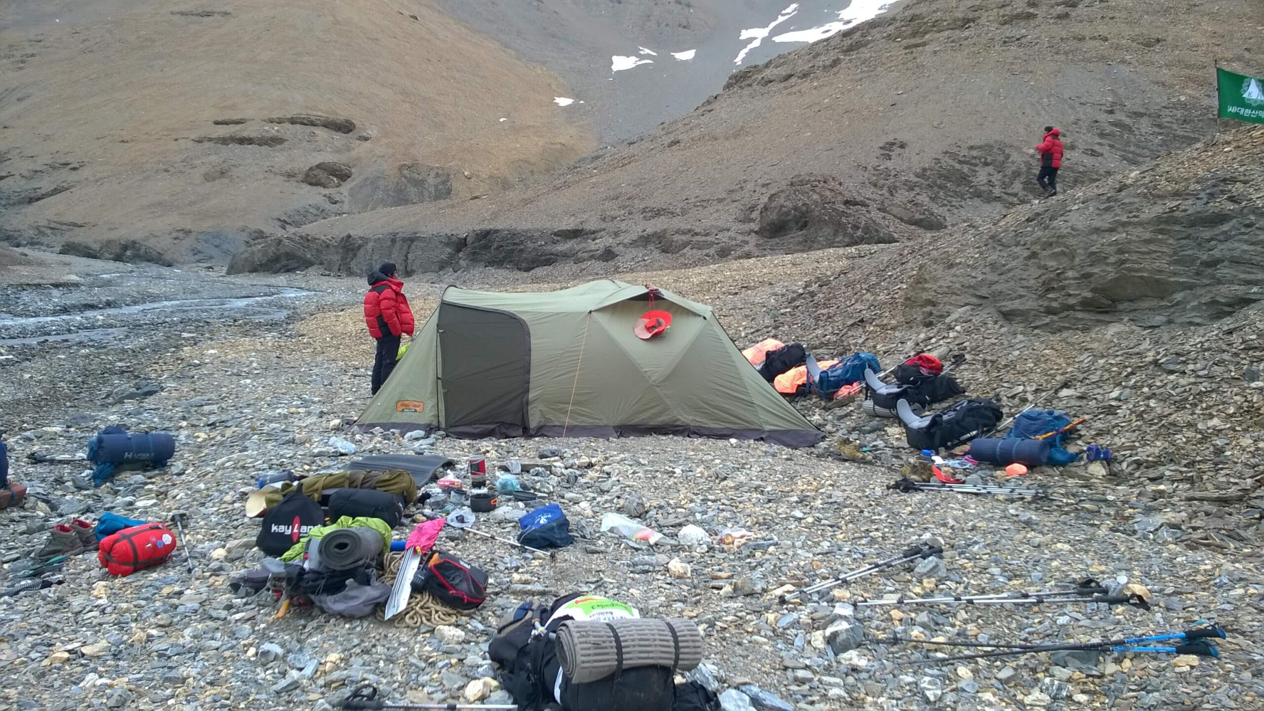
The morning starts with gentle climb from camp we continue through grassy meadows past a shepherd's hut and lake. We hop across several small streams all along rewarded with an amphitheatre view of peaks and glaciers. After lunch we follow it for about 2 hrs to camp. There are several campsites but we continue to the farthest one which is a dry lake bed surrounded by mountains and several glacial lakes, just less than two km from the snout of the Miyar glacier. Alyas is a word used by the shepherds of Lahaul and Chamba for the halt of sheep on the journey in mountains. Alyas so reflects a place where we can spend the night, mostly shepherds make stone huts with or without roof at places called Alyas.
Camp: Adventure India trekking Camp
Meal Plan- All meals
7 to 8 hrs.
We leave early this day and trek through difficult moraine. The climb continues through snow fields and moraine past glacial lakes to camp in a large snowfield in the middle of the glacier. A long day of about 7 hrs with much rock hopping makes the day trek. Camp is again in a beautiful spot surrounded by snowcapped peaks.
Camp: Adventure India trekking Camp
Meal Plan- All meals
6 to 7 hrs.
The climb is gentle, but due to the crevasses it can take time after mid-July. In early summer (from mid-June) the crevasses are covered and walking is easier but in late summer the crevasses would be open so it l takes more time to reach camp which is in a field on the glacier with views of the snowcapped peaks and glaciers all around.
Camp: Adventure India trekking Camp
Meal Plan- All meals
A long and strenuous day crossing Kang La Pass, combining a steady high-altitude ascent with a challenging descent into the remote and dramatic landscapes of Zanskar. The day begins early from Base Camp II (4,700–4,800 m), typically set in a barren high-altitude valley below the pass. The initial section involves a steady and often steep ascent over loose moraine, rocky slopes, and occasional snow patches, depending on the season. As the altitude increases, the air becomes noticeably thinner, and the pace slows to a measured, rhythmic climb. The final approach to the pass can be demanding, sometimes involving scree or snowfields, requiring careful footing but no technical climbing.
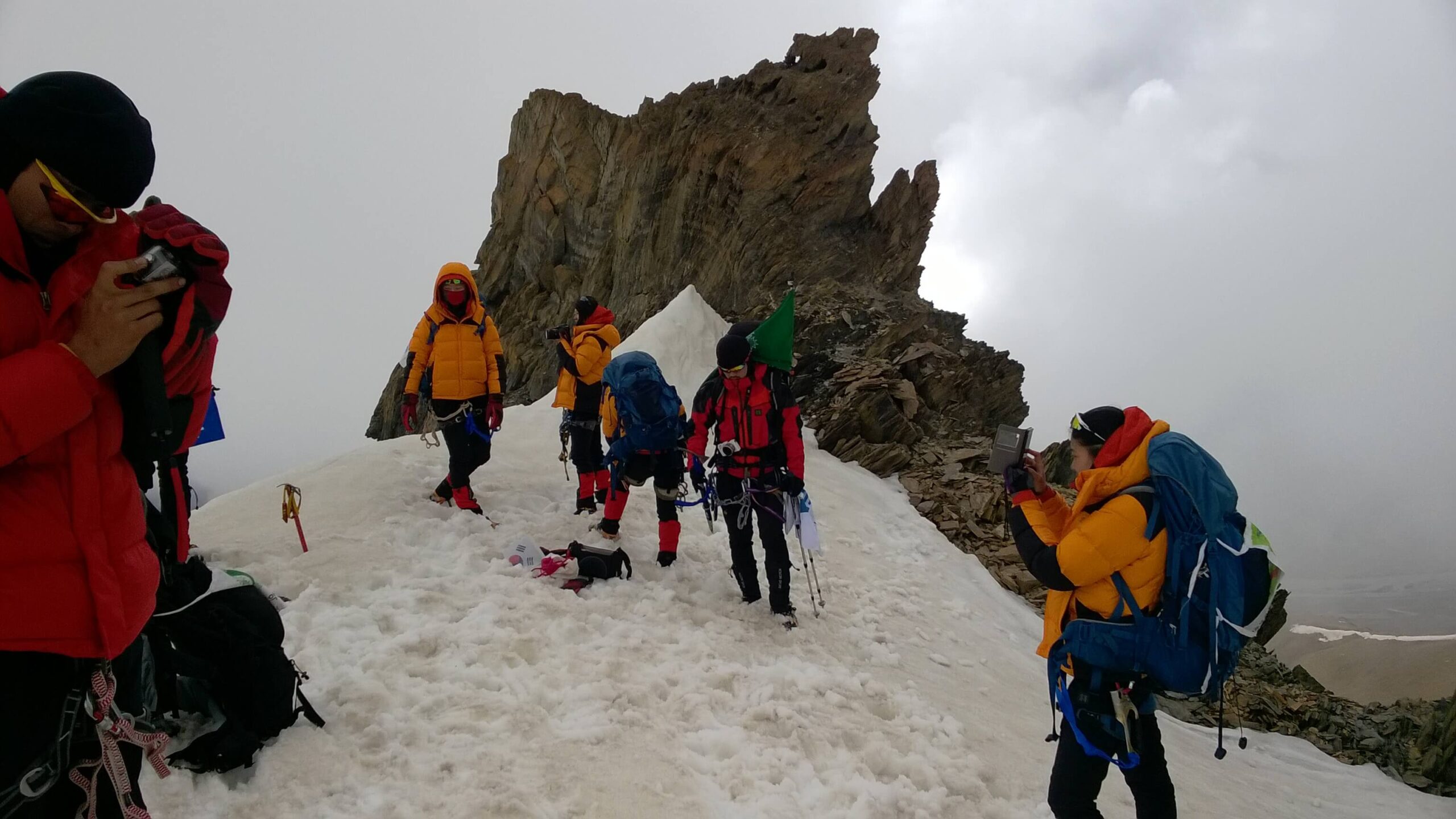
After 3–5 hours of ascent, the trail reaches Kang La Pass (5,300 m), the highest point of the trek. The top is usually marked by prayer flags fluttering in strong winds, offering expansive views of both the Markha Valley behind and the vast Zanskar ranges ahead. Due to altitude and exposure, the halt here is brief but memorable.
The descent towards the Zanskar side begins immediately after crossing the pass and is often more challenging than the ascent. The trail drops steeply over loose scree, rocky terrain, and sometimes snow or icy patches. Extra caution is required as the footing can be unstable. Gradually, the slope eases into a broader valley, where the landscape opens up into wide, remote expanses characteristic of Zanskar.
After several hours of descent, the trail reaches Camp III (4,400–4,500 m), usually located near a water source in a relatively sheltered section of the valley. This marks a significant transition, from the climb of the pass to the quieter, expansive terrain of the Zanskar side.
Camp: Adventure India trekking Camp
Meal Plan- All meals
This morning, we descend on rocks and scree and follow an easy path by the Tema River through grazing grounds and meadows with flowers. The landscape gets more arid and stunning as you enter the Zanskar valley and the road head - back to civilization. We follow a rough jeep track for 2 km to Bardan Gompa set dramatically atop a riverside cliff, and camp in the school grounds. Bardan Gompa is a Kagyud-pa Gompa famous for its 180-cm high Mani prayer wheel. Shabdru, who also founded Hemis Gompa in Ladakh and later went to Bhutan, founded Bardan Gompa.
Camp: Adventure India trekking Camp
Meal Plan- All meals
Today we can reach Padum by cars and rest for the day. Since we are not staying in the hotel so we have to either trek to KARSHA for camping or we will decide at the spot. With the help of local trekkers, we will sort out the location of our climbing ridge at Padum and make necessary preparations.
Hotel: Dee Grand Marq Hotel
Meal Plan- All meals
220 Kms/ 8-9 hours
This day marks the journey out of the remote Zanskar Valley, as the drive begins from Padum (3,650 m), the administrative and cultural center of Zanskar. Leaving behind the quiet isolation of this high-altitude region, the road follows the course of the Zanskar River, winding through dramatic gorges, narrow valleys, and rugged mountain landscapes that define this part of the Himalayas.
As the drive progresses, the route gradually ascends towards Pensi La (4,400 m), one of the most scenic highlights of the day. From the top of the pass, there are breathtaking views of the Drang Drung Glacier, a massive river of ice flowing down the mountainside, one of the most striking glacial sights in Ladakh. The pass also marks a transition point, as the terrain slowly begins to shift from the stark, enclosed valleys of Zanskar towards more open and varied landscapes.
Beyond Pensi La, the road descends into the Suru Valley, where a noticeable change occurs with the landscape softens, greener patches, cultivated fields, and villages appearing along the route. The presence of the Suru River brings life to the valley, and the distant views of the Nun–Kun massif add a majestic backdrop to the journey.
The drive continues steadily towards Kargil (2,700 m), covering approximately 220–240 km over 8–9 hours, depending on road and weather conditions. Upon arrival in Kargil, there is a clear sense of transition from the deep remoteness of Zanskar to a more connected and accessible part of Ladakh. The evening is kept relaxed, allowing time to rest after a long but visually rich journey through one of the most dramatic regions of the Himalayas.
Hotel: Hotel The Haven/ Hotel The Kargil
Meal Plan- All meals
220 Kms/ 6-7 hours
This is a scenic and relatively comfortable drive from Kargil (2,700 m) to Leh (3,500 m), following one of the most historically rich and visually diverse routes in Ladakh. The journey begins with a gradual ascent out of Kargil, as the road traces the Suru and later the Indus River, revealing a striking transition from greener valleys to the stark, sculpted mountains of Ladakh.
One of the early highlights en route is the region around Mulbekh, known for its ancient rock-carved Maitreya Buddha, a reminder of the deep Buddhist heritage that defines this landscape. As the drive continues, the terrain becomes increasingly dramatic, leading to Lamayuru, often referred to as the “Moon land” due to its unique, eroded formations that resemble a lunar surface. The monastery here, perched amidst these surreal hills, offers both a visual and spiritual pause.
Further along, the road descends towards Nimmu, where the confluence of the Indus and Zanskar rivers presents a striking natural spectacle—two distinct river colors merging in a wide valley. The drive also passes the intriguing Magnetic Hill, a curious stretch where vehicles appear to defy gravity, adding a touch of novelty to the journey.
The final approach into Leh is gentle, with the valley widening and signs of habitation increasing. After covering approximately 220 kms, arrival in Leh feels familiar yet rewarding, marking the completion of a circuit that has traversed some of the most remote and dramatic landscapes of the Himalayas. The evening is kept relaxed, allowing time to unwind and reflect on the journey.
Hotel: Bodhi Tree or Gomang
Meal Plan- All meals
Today in Leh is designed as a gentle, restorative pause after the rigours of high-altitude travel, blending light sightseeing with ample rest. The morning can begin unhurried, allowing the body to recover while gradually reconnecting with a more settled rhythm. For those inclined, an early visit to Shanti Stupa offers a serene start, with sweeping views over Leh town and the surrounding mountains, especially beautiful in the soft morning light.
Later, a visit to the historic Leh Palace provides a glimpse into Ladakh’s royal past, along with panoramic views of the old town and the Indus Valley. The day may continue with an excursion to Thiksey Monastery, one of the most impressive monasteries in the region, known for its grand architecture and peaceful ambiance. If time permits, the Hall of Fame Museum, maintained by the Indian Army, offers a meaningful insight into the region’s history, culture, and strategic significance.
The pace of the day remains intentionally relaxed. There is time to stroll through Leh’s local markets, explore small cafés, or simply sit back and absorb the unique atmosphere of this high-altitude town. Meals are easy and nourishing, and hydration continues to be important even at this stage.
By evening, the day settles into quiet reflection, a chance to unwind, revisit memories of the journey, and enjoy the comfort of Leh before the onward return.
Hotel: Bodhi Tree or Gomang
Meal Plan- All meals
Beginning with an early morning transfer to Leh airport for the flight to Delhi. Departures from Leh are usually scheduled in the morning due to weather conditions, and the flight itself offers one last unforgettable experience, the spectacular aerial views of the Himalayan ranges, where snow-covered peaks stretch endlessly beneath the aircraft.
Upon arrival in Delhi, our team receives you at the airport and arranges a smooth transfer to the international terminal. Depending on your onward flight schedule, there may be some time to relax, refresh, or complete departure formalities at ease.
Hotel- Optional depending on flight timing.
Meal Plan – Only breakfast
CLIMBINGB OPTIONS of UNNAMMED PEAK OF 5600 METERS
We have discovered a nice peak of 5600 meters near Padum, so you can always test your climbing skills using 2 extra days.
Frequently Asked Questions
Cost: 2400 USD
Terms and Conditions
1. Eligibility: Fitness, Experience & Motivation
All participants must be physically fit, technically prepared, and mentally motivated for high-altitude climbing. Your mountaineering résumé and experience records will be reviewed before we submit the team application to the Indian Mountaineering Foundation (IMF).
While peaks above 7,000 m demand exceptional stamina and technical competence, numerous Himalayan summits below 6,000 m are equally challenging due to route complexity, weather exposure, remoteness, and objective hazards.
2. Delayed Departure & Early Closure
Expedition timelines may shift due to weather, route conditions, medical concerns, permit directives, or the leader’s safety decisions.
- Delayed closure: Any extension of the itinerary will incur additional charges.
- Early pack-up/retreat: Should the expedition conclude earlier than scheduled, no refund will be provided.
- Any extra transport, hotel stay, lodge/camp nights, or logistical support arising out of delays, roadblocks, medical evacuation, or administrative regulation will be billed separately on a cost-to-cost basis.
3. Satellite Phones, Filming & Drone Permissions
Satellite communication devices are subject to regional security restrictions and cannot be used freely across the Himalaya.
- Only company-registered satellite phones may be used, and will be provided on additional rental in the areas allowed by the Indian Government.
- Drone operations, documentary filming, and aerial recording require prior permits, which vary by district, border zone, and wildlife protection area.
All protocols must be strictly followed to avoid administrative intervention or penalties.
4. Refund Policy
All refund considerations will follow the official cancellation policy issued along with your expedition dossier. Refunds, where applicable, will be processed only as per those terms.
5. Health, Insurance, Rescue & Indemnity
Participants must hold valid high-altitude insurance, including evacuation coverage.
- Any emergency medical service, evacuation helicopter, ground rescue, insurance activation, or hospitalisation can be coordinated through us in the knowledge of LO, but must be paid directly by the team or the insurer.
- All members are required to sign an Indemnity & Risk Acceptance Bond with Adventure India before departure.
6. Booking Confirmation
Once all expedition details, services, and logistics are finalised, the following payment schedule applies:
- 50 % of the expedition fee + IMF fee at the time of confirmation
- Remaining balance payable 61 days before expedition commencement
- 100% advance payment is required for last-minute bookings (booking within 61 days before departure)
7. Non-Refundable / Non-Credit Services
Expedition pricing is quoted as a complete logistical package, not as itemised services.
Therefore, no partial refunds, credits, or adjustments will be issued for unused services (e.g., unused load-ferry, camp nights, high-altitude rations, guide days, transport segments, etc.).
We strongly recommend purchasing full travel cancellation insurance at the time of booking.
8. Replacement Participant
If you nominate another climber to take your place:
- All cancellation charges will be fully waived provided:
- The replacement climber meets the fitness and mountaineering requirements, and
- Secures IMF approval and permit to climb the peak.
9. Sightseeing & Post-Expedition Extensions
Following intense climbing periods in remote high-altitude environments, we encourage participants to decompress and experience India’s cultural and natural richness.
Extension trips may be arranged at additional cost to:
- Taj Mahal / Agra
- Rajasthan Desert & Fort Circuit
- Ladakh & Trans-Himalaya Culture
- Goa / Konkan Coast
- South India (Kerala, Tamil Nadu, Karnataka)
- Northeast India or custom destinations
Cancellation policy
| Cancellations made more than 60 days before departure | A cancellation fee of 10% of the total trip cost will be charged, and the remaining amount will be refunded. |
| Cancellations made between 45 and 60 days before departure | A cancellation fee of 25% of the total trip cost will be charged, and the remaining amount will be refunded. |
| Cancellations made between 30 and 45 days before departure | A cancellation fee of 50% of the total trip cost will be charged, and the remaining amount will be refunded. |
| Cancellations made less than 30 days before departure | The entire deposit will be forfeited. |
UIAA Declaration
UIAA or TREKKING SCALE AS PER THE GLOBAL STANDARDS
The grading of the Kang La Pass trek needs to be understood through two different lenses, as global standards distinguish between technical climbing difficulty and trekking difficulty. The UIAA scale, established by the UIAA, is primarily designed to measure technical rock-climbing challenges rather than trekking routes. Since Kang La does not involve any technical climbing elements—such as the use of ropes, harnesses, or protective gear—it falls under the category of “UIAA Grade 0,” meaning non-technical. In essence, it is considered an alpine hike rather than a climb.
However, for trekkers, the more relevant classification comes from international trekking scales, which evaluate routes based on altitude, endurance, terrain, and remoteness. Systems such as the Alpine grading used in Europe, IFMGA/UIAA trekking categories, and global adventure travel grading frameworks all place Kang La in the “Difficult” or “Demanding” category. This reflects not technical complexity, but the physical and environmental challenges encountered along the route.
From a global perspective, the trek’s difficulty becomes clearer when broken down into its key components. At an altitude of approximately 5,300 meters, Kang La firmly falls within the realm of very high-altitude trekking, where reduced oxygen levels significantly affect physical performance. The trek typically spans 8 to 10 days, with long walking hours of 5 to 8 hours each day, requiring sustained stamina and resilience.
The terrain further adds to the challenge. Trekkers must negotiate river crossings, loose moraine, scree slopes, and steep ascents and descents over the pass, all within remote valleys that demand careful footing and awareness. While none of these require technical climbing skills, they collectively create a physically demanding environment. The remoteness of the Zanskar side enhances the seriousness of the trek, as evacuation options are limited, giving the journey an expedition-like character.
In terms of global equivalence, Kang La is consistently classified as non-technical (UIAA Grade 0) but T4–T5 (demanding to very demanding) on the Alpine trekking scale, and simply “Difficult” under both international and Indian trekking gradings. Despite this, the trek often feels harder than its classification suggests. The combination of high altitude, thin air, long remote stretches, and unpredictable mountain weather can significantly increase the perceived difficulty. As a result, many trekkers underestimate Kang La simply because it is labeled “non-technical,” when in reality it demands strong endurance, proper acclimatization, and mental resilience.